Plan
Choose a destination, set ordered waypoints, and compare candidate routes.
 Sol Atlas
Solar System mission design · iPhone + iPad
Plan the route. Prove it. Fly it.
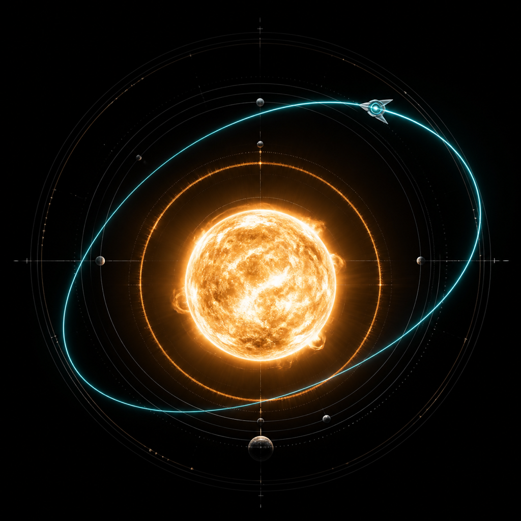
Choose a world, inspect the route evidence, then enter a cinematic, controllable 3D flight.
One continuous decision
Sol Atlas connects trajectory planning, evidence, and flight without hiding the boundaries between them.
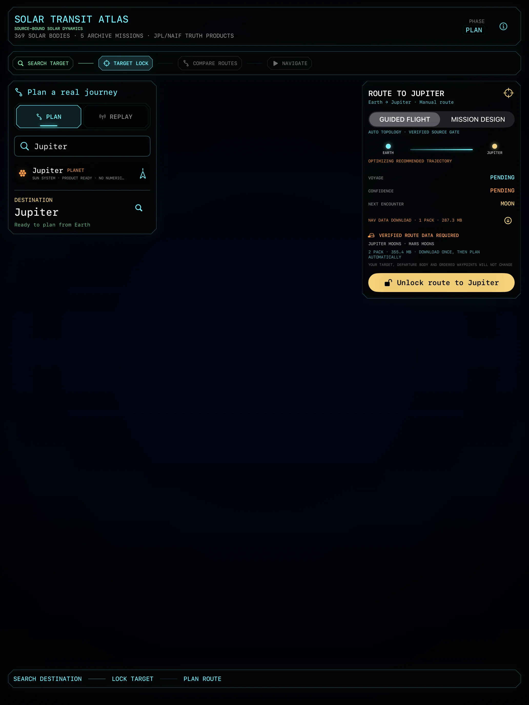
Choose a destination, set ordered waypoints, and compare candidate routes.
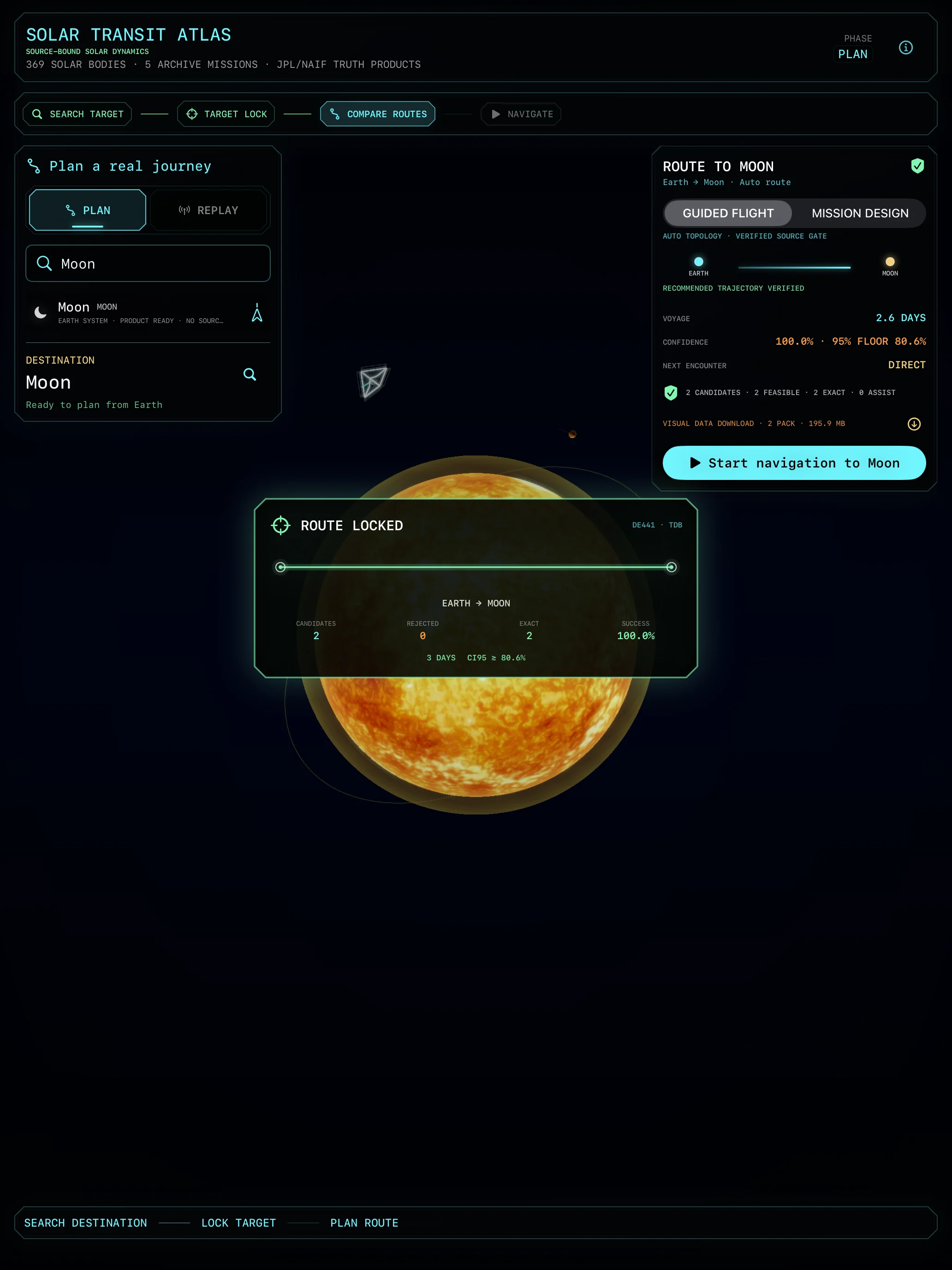
Inspect encounter geometry, uncertainty, source coverage, and rejection reasons.
Enter a controllable Metal-rendered journey through the route you selected.
Mission design
Compare departure date, time of flight, Lambert topology, close approaches, gravity-assist context, B-plane geometry, and route uncertainty. Add ordered waypoints when a direct route is not the mission you want.
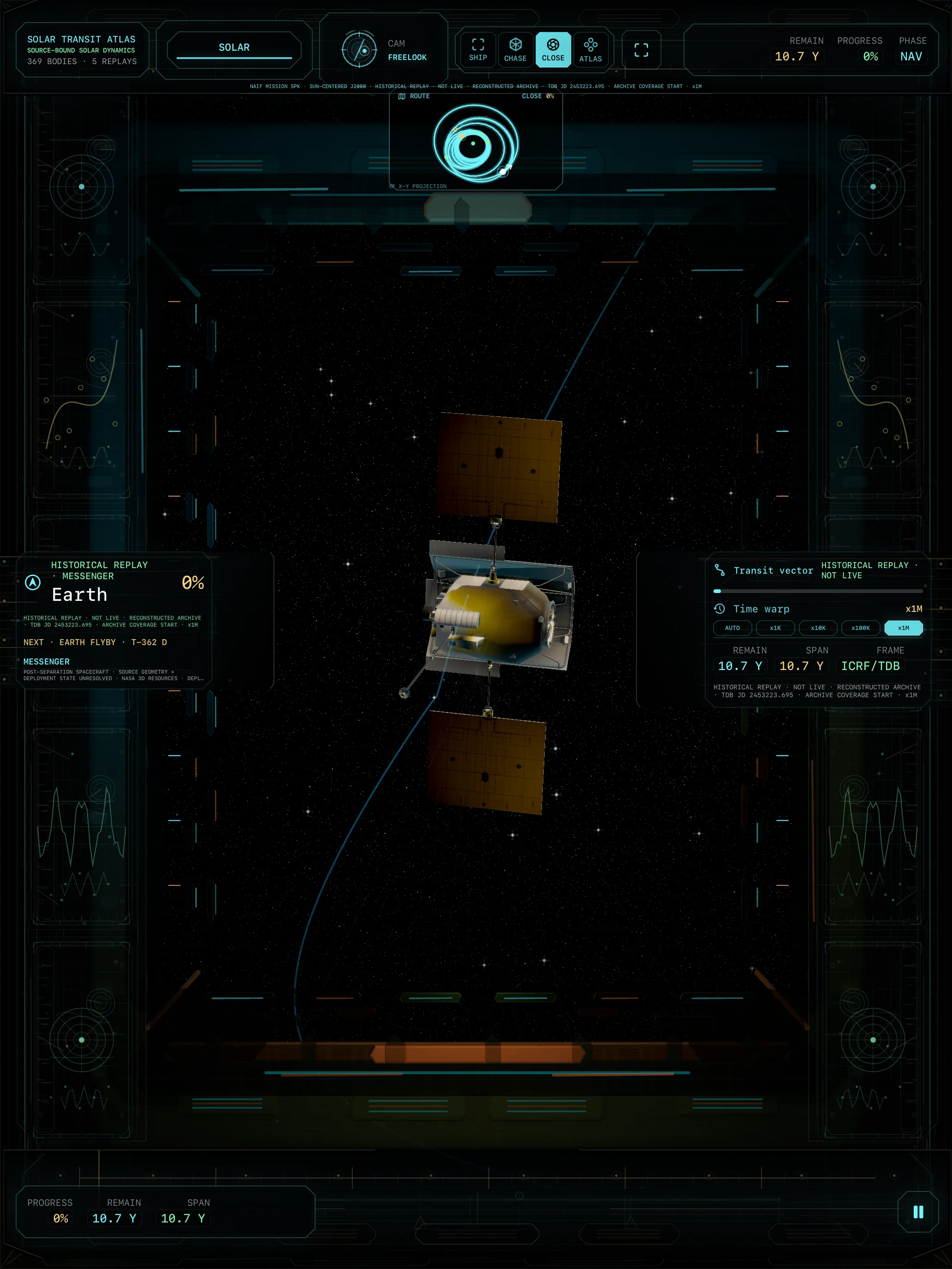
Deep-space history
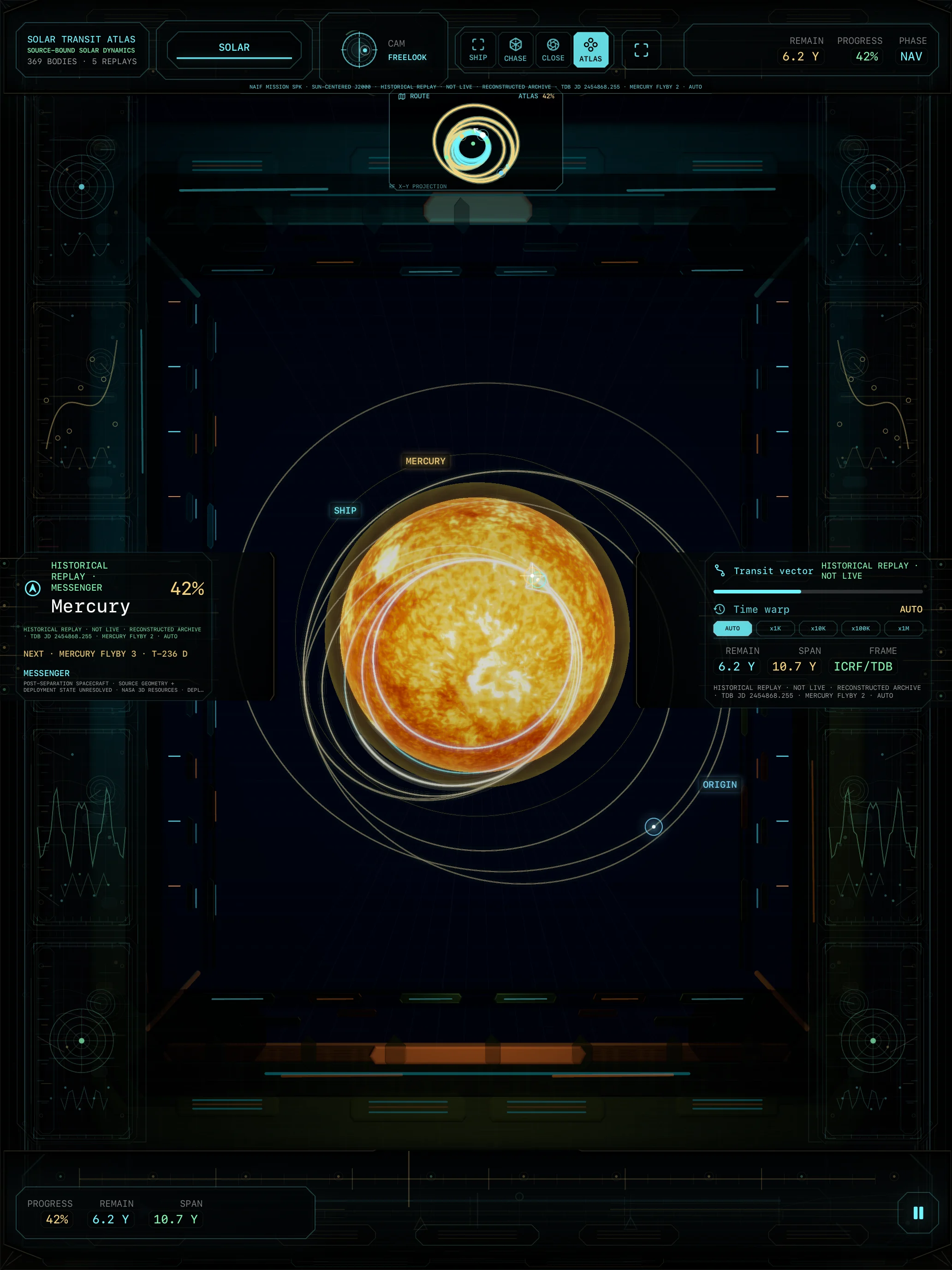
Selected historical trajectories are reconstructed from archives and labelled as replays. Travelled and remaining arcs stay visually distinct while time and camera remain under your control.
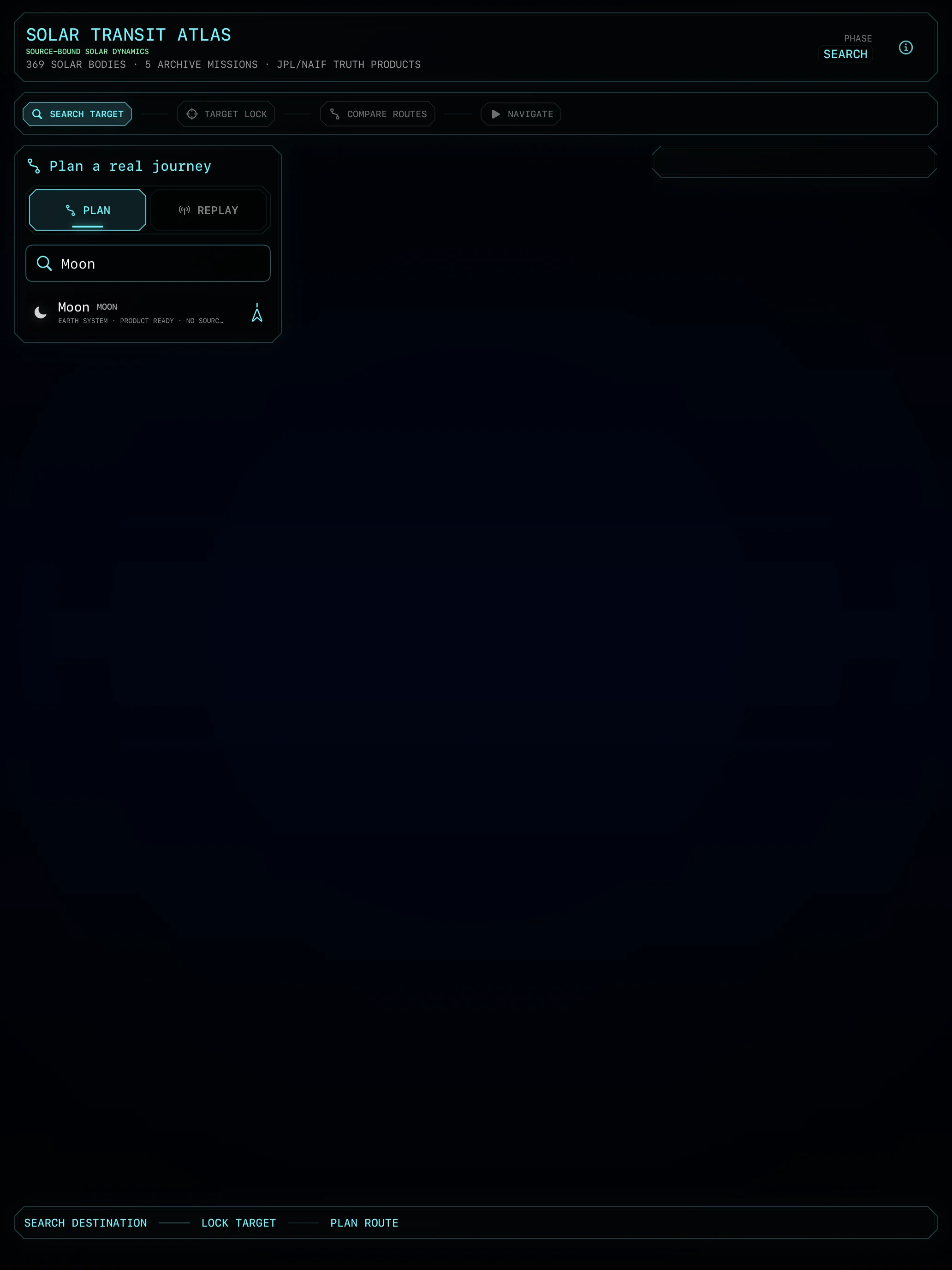
The atlas
Search 369 listed bodies and inspect their scientific context before committing to a route. Textured planets, major moons, rings, and close-approach geometry bring the destination back into view.
Free to begin
Search and inspect every listed destination, fly the Earth-to-Moon guided route, and replay MESSENGER for free.
Full Solar Navigation is a USD 9.99 one-time permanent unlock in the United States, with localized App Store pricing elsewhere.
Open Sol AtlasScientific boundary
Sol Atlas is educational mission-design software, not operational flight guidance. Historical replay is archive-derived and not a live spacecraft feed. The app is not affiliated with or endorsed by NASA, JPL, USGS, or any other data provider.